


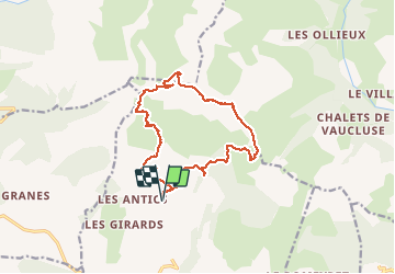

8.6 km | 19.6 km-effort


User GUIDE


FREE GPS app for hiking
 SityTrail
IGN / Geographical institutes
SityTrail World
The world is yours!
Trail Walking of 15.4 km to be discovered at Provence-Alpes-Côte d'Azur, Hautes-Alpes, Chorges. This trail is proposed by David25400.
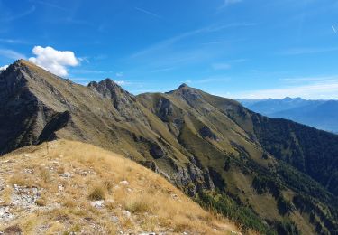
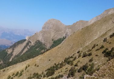
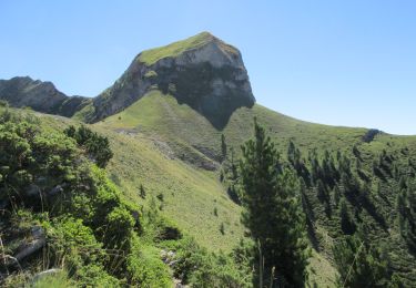
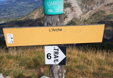
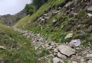
Chemin de crête mal indiqué mais bien praticable
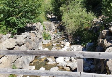
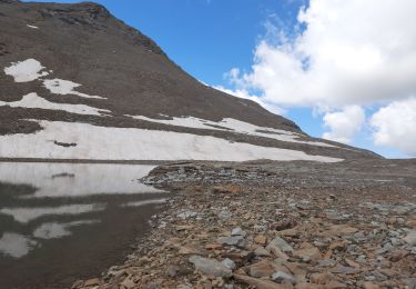
Descente de la Pousterle dangereuse
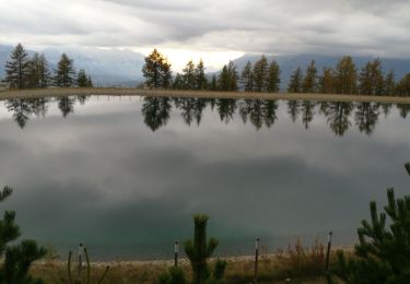
Chevreuil, chamois, marmottes, aigle royal


Walking
Walking
Walking
Walking
Walking
Walking
Walking
Walking
Walking