


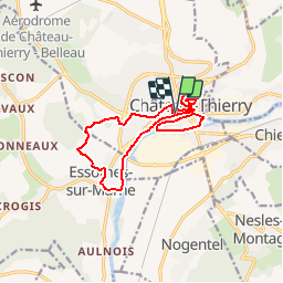


32 km | 41 km-effort


User


FREE GPS app for hiking
 SityTrail
IGN / Geographical institutes
SityTrail World
The world is yours!
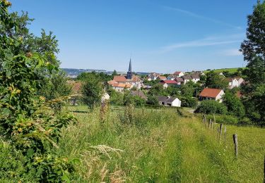
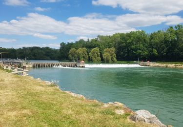
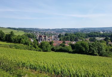
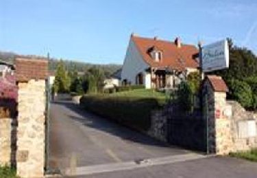
Trail Hybrid bike of 13.4 km to be discovered at Hauts-de-France, Aisne, Château-Thierry. This trail is proposed by Bntg.
Parcours conçu à partir de la carte et des points à voir listés sur le net.
Attention entre km 1 et km 2, très difficile et partiellement impraticable en VTC et vélo de ville. La redescente par les vignes est agréable à la vue mais également réservée aux VTTistes. Le reste du parcours est fort agréable.


Running

Walking
Walking
Mountain bike
Walking
Walking
Walking

Walking

Walking