


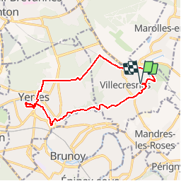

16.8 km | 18.6 km-effort


Randonnez à votre rythme dans une ambiance de grande convivialité


FREE GPS app for hiking
 SityTrail
IGN / Geographical institutes
SityTrail World
The world is yours!
Trail of 13.3 km to be discovered at Ile-de-France, Val-de-Marne, Villecresnes. This trail is proposed by Torcy Rando.
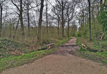
Walking

Walking

Walking
On foot
On foot

Walking

Walking
Walking

On foot