


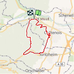

13 km | 18.5 km-effort

User


FREE GPS app for hiking
 SityTrail
IGN / Geographical institutes
SityTrail World
The world is yours!
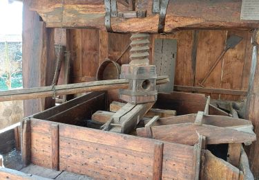
Trail Walking of 12.5 km to be discovered at Grand Est, Bas-Rhin, Châtenois. This trail is proposed by patandre.
au départ- de Val de Villé, abri Moerel, la Wick, château de Kintzheim, vignoble, Châtenois et retour à Val de Vilé


Walking

Walking

Walking

Mountain bike

Walking

Walking
Electric bike
Trail
Electric bike