Trail Walking Brno - ke Svitav 1 - Photo
© OpenStreetMap contributors
Length
Length
14 km
Max alt
Max alt
305 m
Uphill gradient
Uphill gradient
163 m
Km-Effort
Km-Effort  
16.1 km
Min alt
Min alt
200 m
Downhill gradient
Downhill gradient
163 m
Boucle
Boucle
Yes
Creation date :
2019-09-11 16:38:36.317
Updated on :
2019-09-11 20:07:31.864

(0 Reviews)

Walking
Walking
3h27
Difficulty : Very easy

Scan this QR Code to open this trail in the SityTrail application

FREE GPS app for hiking

Logo SityTrail SityTrail

IGN / Geographical institutes

Download SityTrail from the App Store Download SityTrail from Google Play

Logo SityTrail SityTrail World

The world is yours!

Download SityTrail from the App Store Download SityTrail from Google Play Download SityTrail on Huawei AppGallery

About

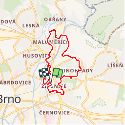
Trail Walking of 14 km to be discovered at Southeast, Jihomoravský kraj, Brno. This trail is proposed by Rostislav Kolacny.

Description

Se psem 2

Elevation profile

Positioning

Country:
Czech Republic
Region :
Southeast
Department/Province :
Jihomoravský kraj
Municipality :
Brno
Location:
Unknown
Start:(UTM)
619577 ; 5450891 (33U) N.

Trails nearby

Trail Walking Brno - Rostislav kolacny  - Photo
Walking
Rostislav Kolacny

Walking

Very easy
(1)
Brno, Southeast, Jihomoravský kraj, Czech Republic
17.2 km | 19.6 km-effort
4h 14min
No
Trail Walking Brno - lisen - Photo
Walking
Tomas Etasek

Walking

Easy
Brno, Southeast, Jihomoravský kraj, Czech Republic
73 m | 73 m-effort
1h 3min
No


Close
My subscriptions