


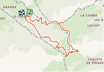

11.8 km | 24 km-effort


User


FREE GPS app for hiking
 SityTrail
IGN / Geographical institutes
SityTrail World
The world is yours!
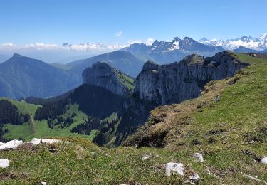
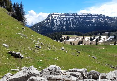
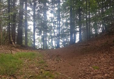
Trail Walking of 12.3 km to be discovered at Auvergne-Rhône-Alpes, Upper Savoy, La Roche-sur-Foron. This trail is proposed by DanElise.
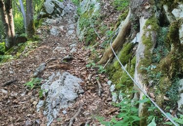
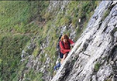
Circuit - Passage du câble délicat
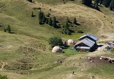
Walking

Walking
Walking
Walking
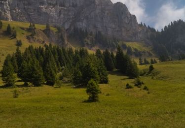
Walking
Walking
Walking
Walking
Walking
Randonnée agréable. Dommage que les erreurs du tracé au début du circuit (grands zig zags certainement dûs au GPS) n'aient pas été repris.