


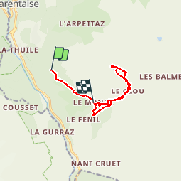

12.2 km | 22 km-effort

User


FREE GPS app for hiking
 SityTrail
IGN / Geographical institutes
SityTrail World
The world is yours!
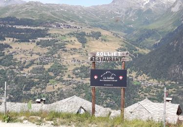
Trail Walking of 10.6 km to be discovered at Auvergne-Rhône-Alpes, Savoy, Sainte-Foy-Tarentaise. This trail is proposed by PATGUSS.
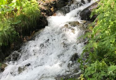
Le Mona le très beau village typique est au-dessus le lac du clos circuit en boucle très beau paysage


Walking
Walking

Walking

Walking

Walking

Walking
Walking
Walking

Walking