


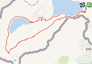


8.7 km | 19 km-effort


User


FREE GPS app for hiking
 SityTrail
IGN / Geographical institutes
SityTrail World
The world is yours!
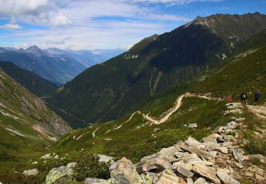
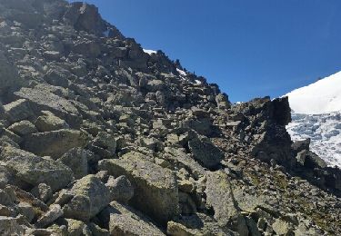
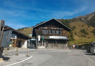
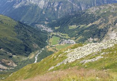
Trail Walking of 14.2 km to be discovered at Valais/Wallis, Saint-Maurice, Finhaut. This trail is proposed by duamerg.
"Go to Martigny, Col de la Forclaz and follow the main road until you see destination Finhaut/Emosson. Go up to emosson with the car. From there good walk to the dinausaures!Don't follow the road but go left according to the map.It is not indicated but you will find it. You can change the view of the map and get a more precise map.
Touring skiing
Walking
On foot
On foot
Walking
Walking
Walking

Walking
Walking