


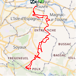

21 km | 25 km-effort


User


FREE GPS app for hiking
 SityTrail
IGN / Geographical institutes
SityTrail World
The world is yours!
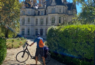
Trail Mountain bike of 23 km to be discovered at New Aquitaine, Charente, Ruelle-sur-Touvre. This trail is proposed by sy!.

Walking
Walking
Walking
Walking

Walking

Other activity
Walking
Mountain bike
Electric bike