


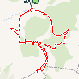

7.4 km | 12.1 km-effort

User GUIDE


FREE GPS app for hiking
 SityTrail
IGN / Geographical institutes
SityTrail World
The world is yours!
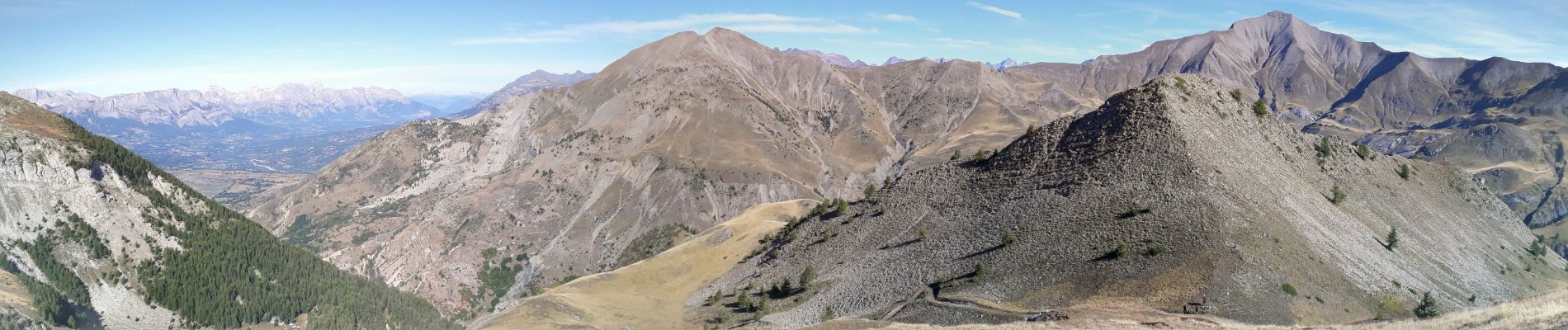
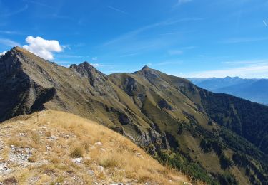
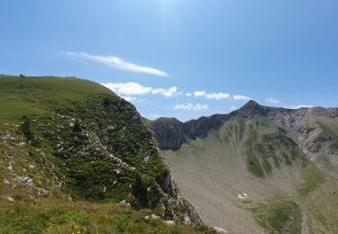
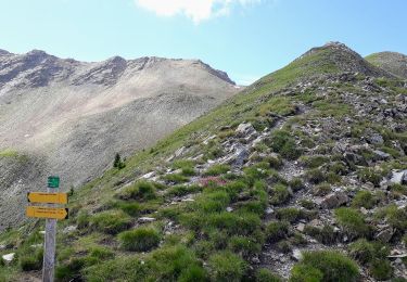
Trail Walking of 14.2 km to be discovered at Provence-Alpes-Côte d'Azur, Hautes-Alpes, Ancelle. This trail is proposed by R@ph.
Au départ du parking de Rouanne Haute une randonnée en boucle en montant par le rocher de la cabane et la Plaine puis col de la Pourachère et accès direct au Piolit.
Retour en passant par la cabane de la Haute Selle.


Walking

Running

Walking
Walking
Walking
Walking

Snowshoes

Walking
Snowshoes