


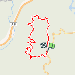

16.6 km | 23 km-effort

User


FREE GPS app for hiking
 SityTrail
IGN / Geographical institutes
SityTrail World
The world is yours!
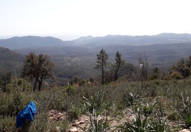
Trail Walking of 8.4 km to be discovered at Provence-Alpes-Côte d'Azur, Var, Fréjus. This trail is proposed by donda.

Walking
Walking

Walking

Mountain bike
Walking

Walking

Walking

Walking
Walking
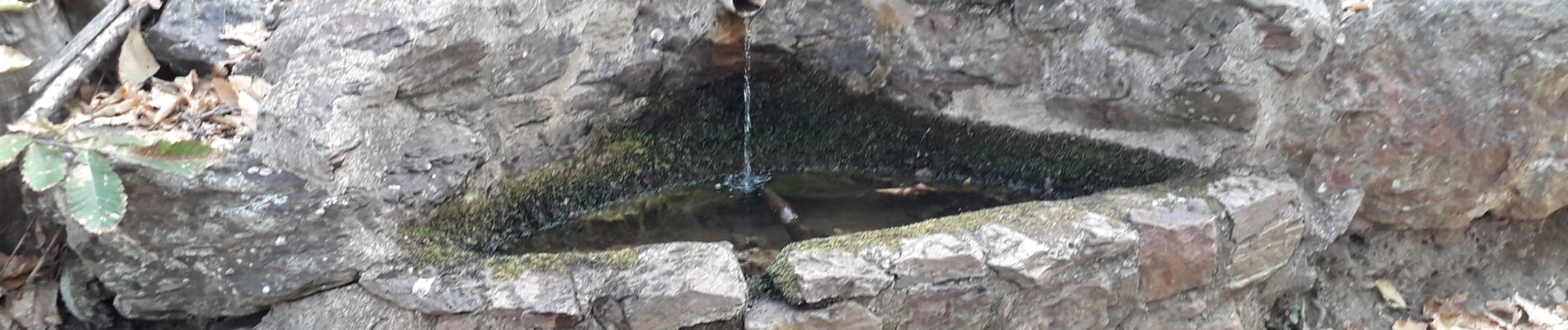
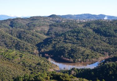
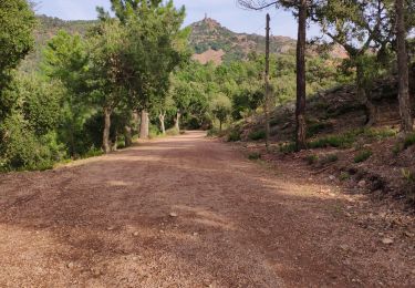
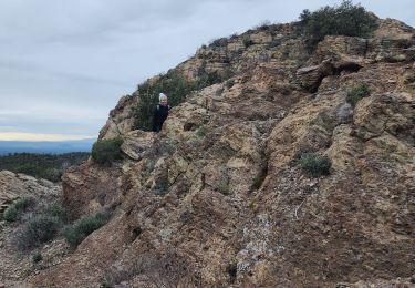
Uniquement des grands sentiers, sauf au départ sur 300m.