


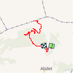

12.7 km | 16.9 km-effort


User


FREE GPS app for hiking
 SityTrail
IGN / Geographical institutes
SityTrail World
The world is yours!
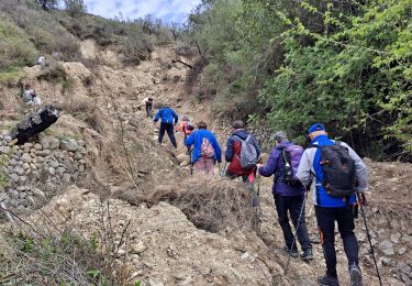
Trail Walking of 11.5 km to be discovered at Valencian Community, Alacant / Alicante, Confrides. This trail is proposed by scaillet.

Walking

Walking

Walking

Walking
Walking

On foot

On foot

On foot

Other activity