


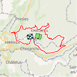

10.1 km | 22 km-effort


User


FREE GPS app for hiking
 SityTrail
IGN / Geographical institutes
SityTrail World
The world is yours!
Trail Walking of 17.8 km to be discovered at Auvergne-Rhône-Alpes, Isère, Choranche. This trail is proposed by grfamily.
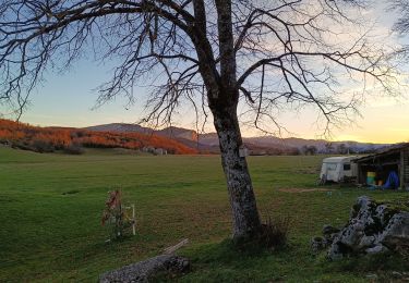
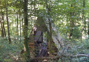
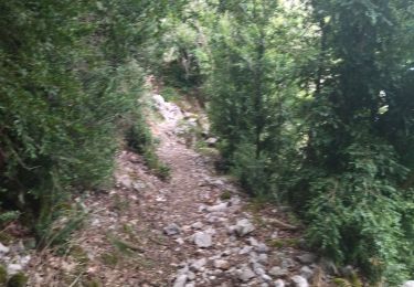
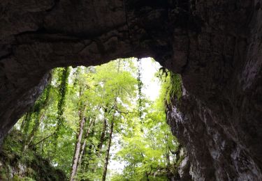
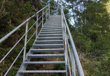
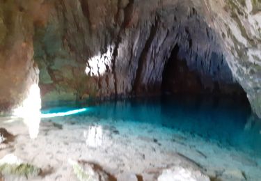
Randonnée difficile. Après une jolie cascade et un beau lac souterrain , une petite descente vous attend. Et ensuite un très long raidillon . Petite pose de terrain relativement plat et ça recommence : raidillon . Un morceau de sentier découverte pour se reposer un peu et là stupeur ; une descente très abrupte vous attend ; dure pour les jambes. pour finir la randonnée entre 2 et 3 kms de goudron . Par contre des paysages a vous couper le souffle

Walking

Other activity

Walking
Mountain bike
Walking
Walking
Walking
Walking
Walking
Randonnée difficile. Après une jolie cascade et un beau lac souterrain , une petite descente vous attend.Et ensuite un très long raidillon .Petite pose de terrain relativement plat et ça recommence : raidillon .Un morceau de sentier découverte pour se reposer un peu et là stupeur ; une descente très abrupte vous attend ; dure pour les jambes.pour finir la randonnée entre 2 et 3 kms de goudron . Par contre des paysages a vous coupé le souffle