


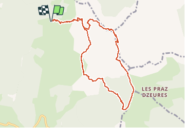

27 km | 31 km-effort

User


FREE GPS app for hiking
 SityTrail
IGN / Geographical institutes
SityTrail World
The world is yours!
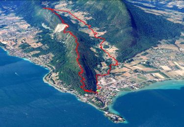
Trail Walking of 10.9 km to be discovered at Auvergne-Rhône-Alpes, Upper Savoy, Talloires-Montmin. This trail is proposed by nadd73.
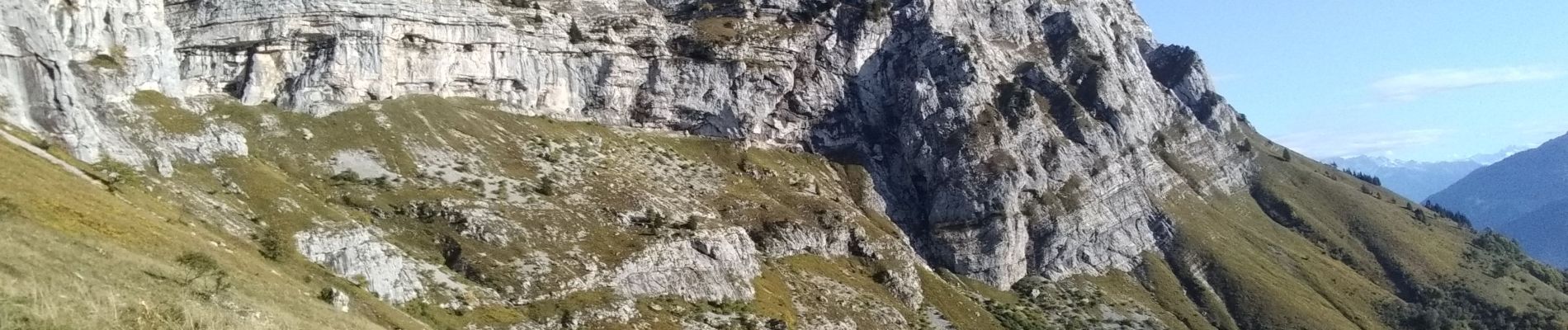
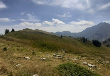
Départ du chalet de l'aulp,. voix normale de la Tournette à la ruine du chalet Casset prendre à gauche , plus haut monter les barres à l'aide de barres fixes et câbles jusqu'au col de varo. retrouver le sentier de la voix normale jusqu'au sommet (câbles et chaines).
Du sommet revenir sur ses pas et prendre une sente, ouest, qui passe sous le sommet jusqu'à la pointe de Bajulaz et des fretes.
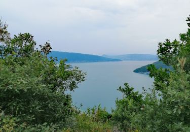
Descendre jusqu'au charvet de là monter le couloir en face.
Prendre des vires aériennes jusqu'au chalet de la Tournette
Aérien ne pas s'aventurer avec des enfants ou des personnes peu expirimentées dans ce genre de randonnées. Bonnes chaussures.
Voir plus sur Altitude rando


Mountain bike

Walking
Walking

Cycle

Walking
Walking
Walking
Walking
Walking