


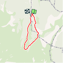

9.8 km | 14.9 km-effort

User


FREE GPS app for hiking
 SityTrail
IGN / Geographical institutes
SityTrail World
The world is yours!
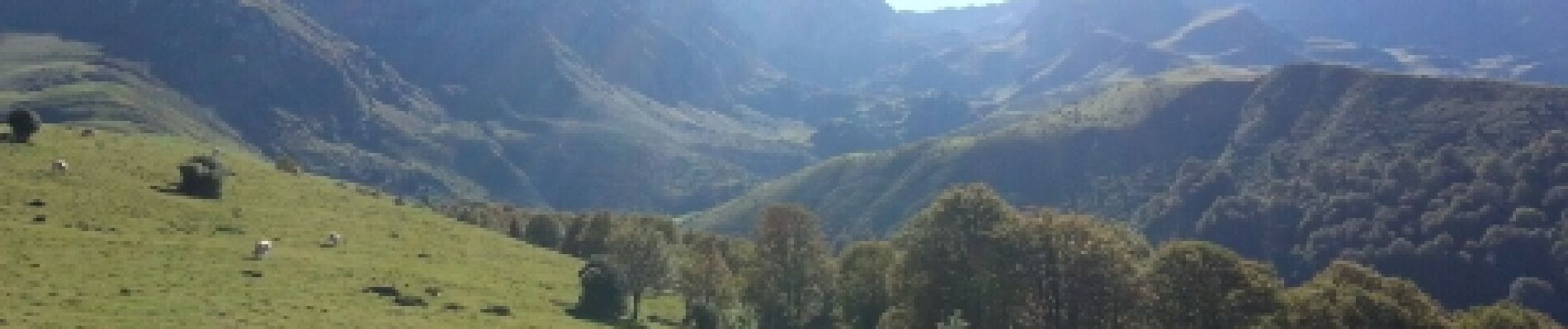
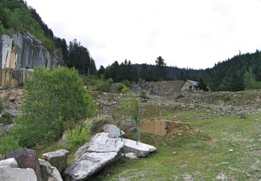
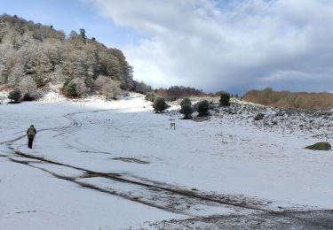
Trail Walking of 5.4 km to be discovered at Occitania, Hautespyrenees, Ancizan. This trail is proposed by Martinet.Claude.
.'


Walking

Walking
On foot

Walking
Walking
Walking

Snowshoes
Walking
Walking
balade facile et sympa, le long du ruisseau à l'aller ; tb pour faire avec des enfants.