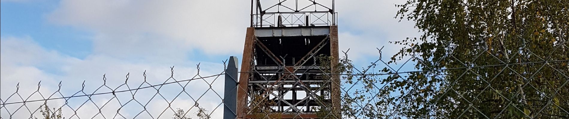
Trélazé, les ardoisieres

louis49
User

Length
11.8 km

Max alt
45 m

Uphill gradient
77 m
Km-Effort
12.8 km

Min alt
17 m

Downhill gradient
77 m
Boucle
Yes
Creation date :
2019-11-04 13:25:23.142
Updated on :
2019-11-04 16:42:48.408
3h09
Difficulty : Very easy

FREE GPS app for hiking
 SityTrail
IGN / Geographical institutes
SityTrail Plus
The world is yours!
About
Trail Walking of 11.8 km to be discovered at Pays de la Loire, Maine-et-Loire, Trélazé. This trail is proposed by louis49.
Description
parcours le long des ardoisieres.
Photos


Positioning
Country:
France
Region :
Pays de la Loire
Department/Province :
Maine-et-Loire
Municipality :
Trélazé
Location:
Unknown
Start:(Dec)
Start:(UTM)
689262 ; 5257852 (30T) N.
Comments