


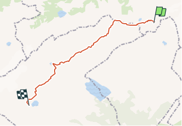

7.1 km | 10.9 km-effort


User


FREE GPS app for hiking
 SityTrail
IGN / Geographical institutes
SityTrail World
The world is yours!
Trail Other activity of 10.4 km to be discovered at Bern, Obersimmental-Saanen administrative district, Lenk. This trail is proposed by Bachmann.
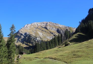
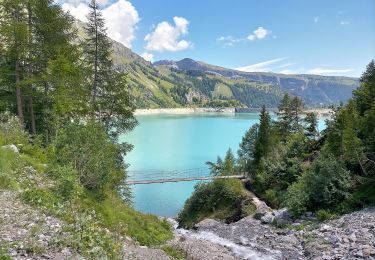
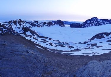
Deuxième jour du tour, de la cabane du Wildsrubel à la cabane des Audannes

Walking
On foot
On foot
On foot
Walking

On foot
Walking
Nordic walking
Other activity