


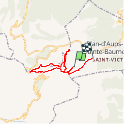

11.7 km | 18.6 km-effort


User


FREE GPS app for hiking
 SityTrail
IGN / Geographical institutes
SityTrail World
The world is yours!
Trail Walking of 10.9 km to be discovered at Provence-Alpes-Côte d'Azur, Var, Plan-d'Aups-Sainte-Baume. This trail is proposed by EXCURS.

Walking

Walking

Walking

Walking

Walking

Mountain bike

Walking
Walking
Walking
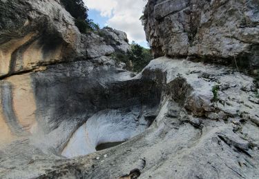
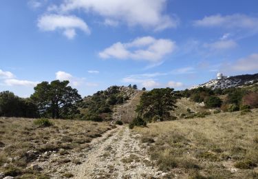
superbe randonnée difficile par endroit vertige et mettre les mains merci