


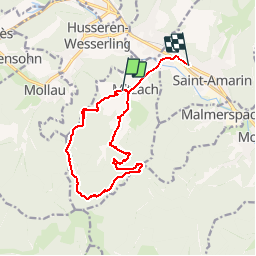

9.2 km | 18.1 km-effort


User


FREE GPS app for hiking
 SityTrail
IGN / Geographical institutes
SityTrail World
The world is yours!
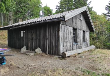
Trail Walking of 13.7 km to be discovered at Grand Est, Haut-Rhin, Mitzach. This trail is proposed by geishouse.
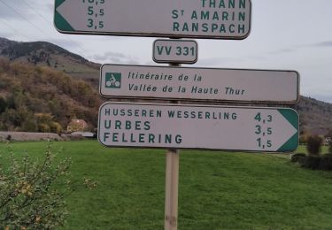
Départ Entzenbach, Drei Markstein, Mitzach

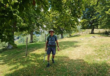
Walking
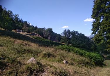
Walking
Walking

Walking
Walking

Walking
Walking
Walking
Walking