


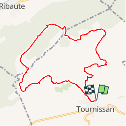

19.6 km | 26 km-effort


User


FREE GPS app for hiking
 SityTrail
IGN / Geographical institutes
SityTrail World
The world is yours!
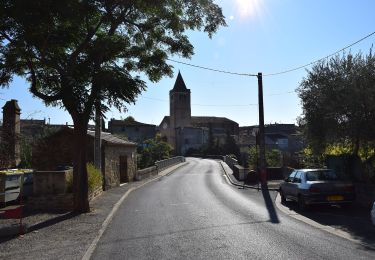
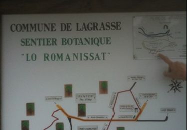
Trail On foot of 10.9 km to be discovered at Occitania, Aude, Tournissan. This trail is proposed by SoleilMoussanais.
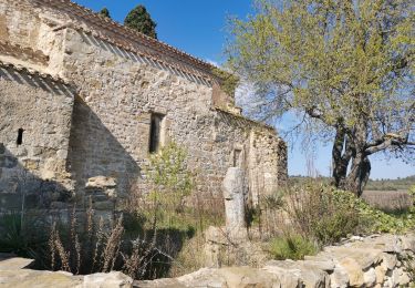
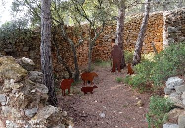
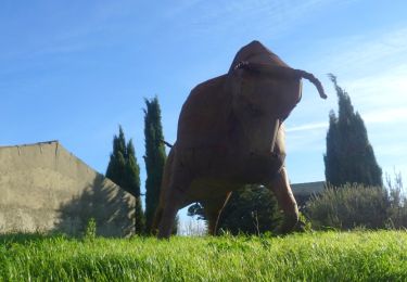
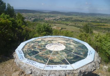
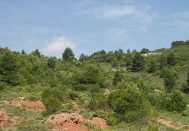
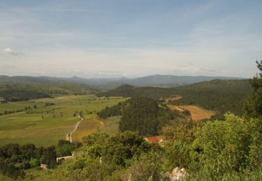
Balade sur les hauteurs de Tournissan. Amateurs de géologie comblés. Emprunt d'une partie du sentier Francis Lastenouse.
Walking

On foot
Walking
On foot
Walking
Walking
Walking
Walking
Walking