


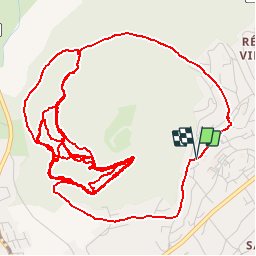


9.2 km | 12 km-effort

User


FREE GPS app for hiking
 SityTrail
IGN / Geographical institutes
SityTrail World
The world is yours!
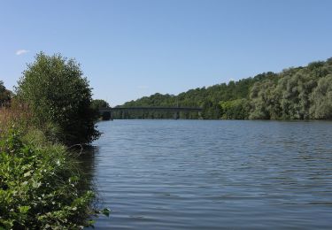
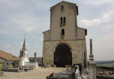
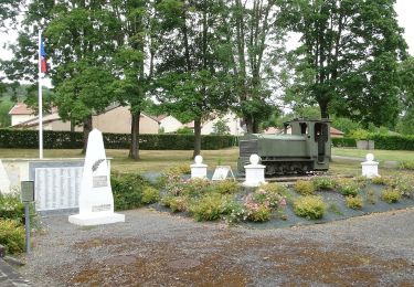
Trail Mountain bike of 12.8 km to be discovered at Grand Est, Meurthe-et-Moselle, Toul. This trail is proposed by Daburon.
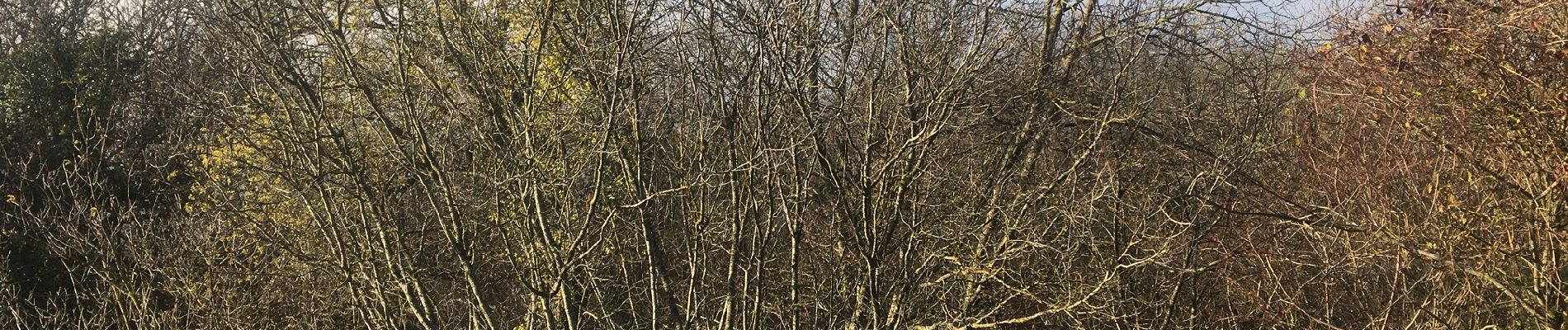
À la découverte des single-tracks des contreforts du St Michel.
Selle télescopique conseillée.

On foot

Mountain bike
Mountain bike

On foot
On foot
On foot
On foot
On foot
On foot