


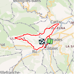

13.5 km | 17.2 km-effort


User


FREE GPS app for hiking
 SityTrail
IGN / Geographical institutes
SityTrail World
The world is yours!
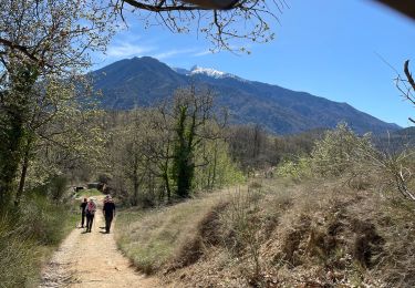
Trail Walking of 16.1 km to be discovered at Occitania, Pyrénées-Orientales, Codalet. This trail is proposed by zazie.

Walking

Motor

Mountain bike
Walking
Walking

Walking

Walking
Walking
Walking
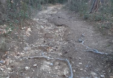
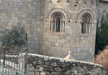
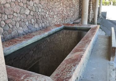
excellente decouverte de la plaine de Prades chapelle de St Christophe au pied de Llugols avec une descente rapide sur Ria et ses charmantes habitations. - Excellente decouverte de la plaine de Prades. Chapelle de St Christophe aux pieds de Llugols. Rapide descente sur Ria et ses charmantes habitations.