


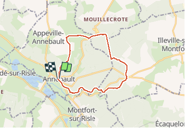

14 km | 16.4 km-effort


User


FREE GPS app for hiking
 SityTrail
IGN / Geographical institutes
SityTrail World
The world is yours!
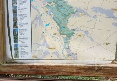
Trail Walking of 12.4 km to be discovered at Normandy, Eure, Appeville-Annebault. This trail is proposed by serisier.

Walking

Walking
Walking

Walking

Walking

Walking
Walking

Walking
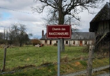
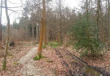
un peu de goudron au départ ensuite beaux sentiers en forêt