


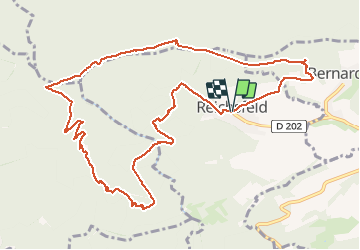

13 km | 18.5 km-effort

User GUIDE


FREE GPS app for hiking
 SityTrail
IGN / Geographical institutes
SityTrail World
The world is yours!
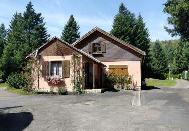
Trail Walking of 12.2 km to be discovered at Grand Est, Bas-Rhin, Reichsfeld. This trail is proposed by holtzv.
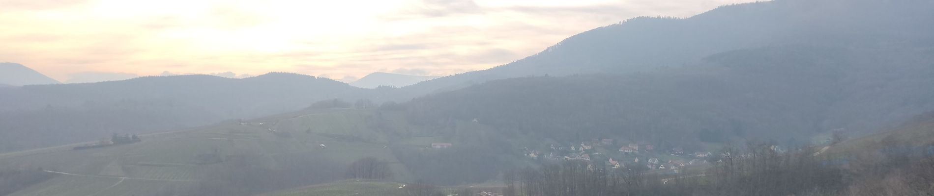
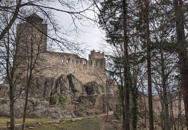
Marche en aller retour depuis Reichfeld pour aller à la tour du Hering en haut du Ungersberg. Sur le retour, passage par le refuge du Gruckert tenu par les amis de la nature de Strasbourg.


Walking

Walking
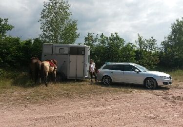
Equestrian
Walking

Walking
Walking
Walking
Walking

Walking