


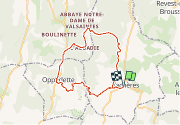
Vachères - le saut du Moine_gpx

RobinMicheline
User GUIDE

Length
16.3 km

Max alt
868 m

Uphill gradient
480 m
Km-Effort
23 km

Min alt
453 m

Downhill gradient
480 m
Boucle
Yes
Creation date :
2020-01-12 16:55:30.668
Updated on :
2020-05-23 19:06:36.053
--
Difficulty : Medium

FREE GPS app for hiking
 SityTrail
IGN / Geographical institutes
SityTrail Plus
The world is yours!
About
Trail On foot of 16.3 km to be discovered at Provence-Alpes-Côte d'Azur, Alpes-de-Haute-Provence, Vachères. This trail is proposed by RobinMicheline.
Positioning
Country:
France
Region :
Provence-Alpes-Côte d'Azur
Department/Province :
Alpes-de-Haute-Provence
Municipality :
Vachères
Location:
Unknown
Start:(Dec)
Start:(UTM)
711639 ; 4867652 (31T) N.
Comments