Trail Walking L'Argentière-la-Bessée - 1 L'Argentière la Bessée-Vallouise - Photo
© OpenStreetMap contributors
Length
Length
14.9 km
Max alt
Max alt
2027 m
Uphill gradient
Uphill gradient
1077 m
Km-Effort
Km-Effort  
29 km
Min alt
Min alt
970 m
Downhill gradient
Downhill gradient
874 m
Boucle
Boucle
No
Creation date :
2020-01-15 17:14:26.087
Updated on :
2020-12-07 08:46:49.63

(0 Reviews)

Walking
Walking
6h40
Difficulty : Difficult

Scan this QR Code to open this trail in the SityTrail application

FREE GPS app for hiking

Logo SityTrail SityTrail

IGN / Geographical institutes

Download SityTrail from the App Store Download SityTrail from Google Play

Logo SityTrail SityTrail World

The world is yours!

Download SityTrail from the App Store Download SityTrail from Google Play Download SityTrail on Huawei AppGallery

About

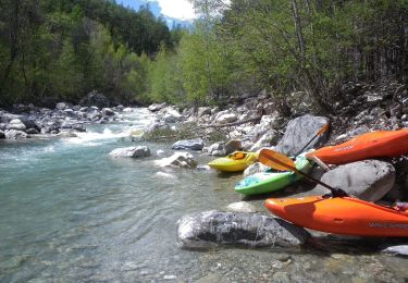
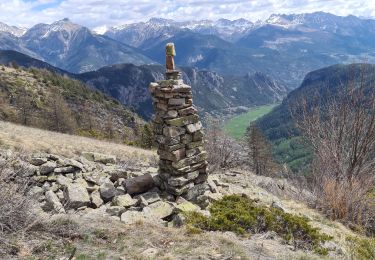
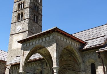
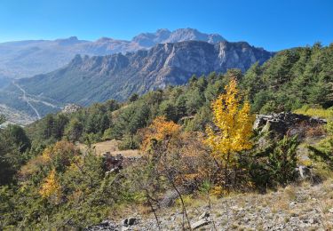
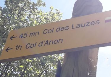
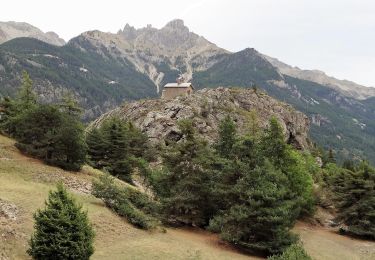
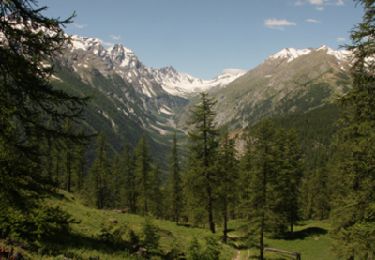
Trail Walking of 14.9 km to be discovered at Provence-Alpes-Côte d'Azur, Hautes-Alpes, L'Argentière-la-Bessée. This trail is proposed by edouard_bieber.

Description

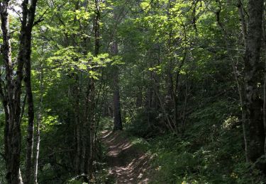
par le bois de la Pignée

Elevation profile

Positioning

Country:
France
Region :
Provence-Alpes-Côte d'Azur
Department/Province :
Hautes-Alpes
Municipality :
L'Argentière-la-Bessée
Location:
Unknown
Start:(UTM)
306843 ; 4962687 (32T) N.

Trails nearby

Trail On foot Vallouise-Pelvoux - Boucle de Vallouise - Photo
On foot
PRO

On foot

Easy
Vallouise-Pelvoux, Provence-Alpes-Côte d'Azur, Hautes-Alpes, France
8.1 km | 11.6 km-effort
2h 38min
Yes
Trail On foot Les Vigneaux - Tour des Vigneaux - Photo
On foot
PRO

On foot

Easy
Les Vigneaux, Provence-Alpes-Côte d'Azur, Hautes-Alpes, France
5.7 km | 7.5 km-effort
1h 42min
Yes
Trail Walking Freissinières - tour de fressiniere - Photo
Walking
tchoua

Walking

Medium
Freissinières, Provence-Alpes-Côte d'Azur, Hautes-Alpes, France
25 km | 43 km-effort
6h 16min
Yes
Trail On foot Les Vigneaux - Entre Parapin et Gyronde - Photo
On foot
PRO

On foot

Easy
Les Vigneaux, Provence-Alpes-Côte d'Azur, Hautes-Alpes, France
5.8 km | 8.3 km-effort
1h 53min
Yes
Trail Walking La Roche-de-Rame - la grande barre par cabane des aiguilles  - Photo
Walking
tchoua

Walking

Very difficult
La Roche-de-Rame, Provence-Alpes-Côte d'Azur, Hautes-Alpes, France
13.7 km | 27 km-effort
3h 34min
Yes
Trail Walking Freissinières - Fressiniere  les Roberts  Lac de la Lauze - Photo
Walking
Sorriaux

Walking

Medium
Freissinières, Provence-Alpes-Côte d'Azur, Hautes-Alpes, France
13.9 km | 22 km-effort
4h 12min
Yes
Trail Walking Puy-Saint-Vincent - Le Villaret La combe noire - Photo
Walking
Sigmut

Walking

Very easy
Puy-Saint-Vincent, Provence-Alpes-Côte d'Azur, Hautes-Alpes, France
7.1 km | 9.5 km-effort
3h 8min
Yes
Trail Walking L'Argentière-la-Bessée - CR_Domitia_CJ_21_Argentiere_St-Martin-Queyrieres_20170915 - Photo
Walking
patrickdanilo

Walking

Very difficult
L'Argentière-la-Bessée, Provence-Alpes-Côte d'Azur, Hautes-Alpes, France
16.6 km | 27 km-effort
5h 57min
No
Trail Walking Puy-Saint-Vincent - Les Têtes - Puy Saint Vincent - Photo
Walking
tracegps

Walking

Medium
Puy-Saint-Vincent, Provence-Alpes-Côte d'Azur, Hautes-Alpes, France
12.3 km | 21 km-effort
4h 0min
Yes


Close
My subscriptions