


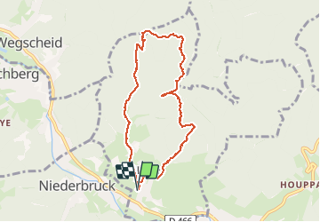

19.9 km | 34 km-effort


User


FREE GPS app for hiking
 SityTrail
IGN / Geographical institutes
SityTrail World
The world is yours!
Trail Walking of 7.8 km to be discovered at Grand Est, Haut-Rhin, Sickert. This trail is proposed by JCLUTT.
Belle randonnée de difficulté moyenne avec une superbe vue à partir de l'abri de Sickertbach.
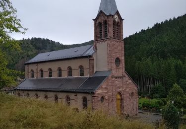
 - Photo 1")

Walking
Walking

Walking

Walking

Walking

On foot

Walking

Walking
Walking