


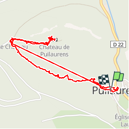


10.1 km | 16.9 km-effort


User


FREE GPS app for hiking
 SityTrail
IGN / Geographical institutes
SityTrail World
The world is yours!
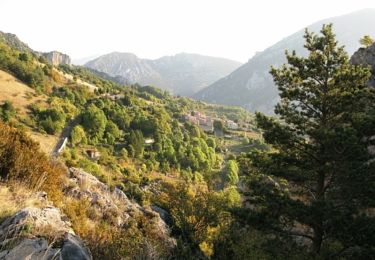
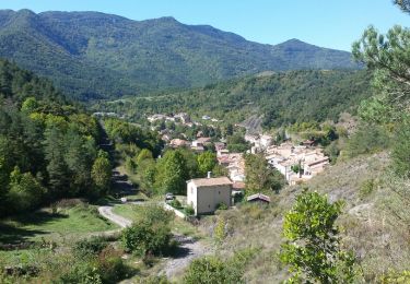
Trail Walking of 3.3 km to be discovered at Occitania, Aude. This trail is proposed by livfoss.
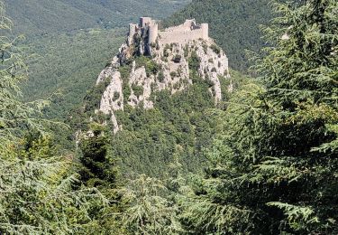
Cathar chateau. Route taken is from the village, not the car park. Amazing view. A slog, but not difficult.


Walking
Walking

Walking
Walking
Walking

Walking
Walking
Walking
Walking