


wai o tapo

gerardprovost
User
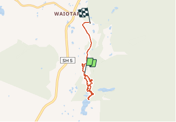

Length
5.3 km

Max alt
388 m

Uphill gradient
120 m
Km-Effort
6.8 km

Min alt
327 m

Downhill gradient
68 m
Boucle
No
Creation date :
2020-02-12 21:45:48.689
Updated on :
2020-02-13 00:31:04.691
2h44
Difficulty : Very easy

FREE GPS app for hiking
 SityTrail
IGN / Geographical institutes
SityTrail World
The world is yours!
About
Trail Walking of 5.3 km to be discovered at Waikato, Rotorua. This trail is proposed by gerardprovost.
Positioning
Country:
New Zealand
Region :
Waikato
Department/Province :
Rotorua
Municipality :
Rotorua
Location:
Unknown
Start:(Dec)
Start:(UTM)
444744 ; 5754490 (60H) S.
Comments
Trails nearby