


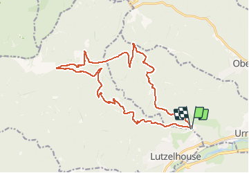

14.9 km | 21 km-effort

User


FREE GPS app for hiking
 SityTrail
IGN / Geographical institutes
SityTrail World
The world is yours!
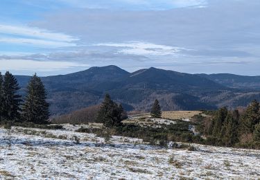
Trail Walking of 18.8 km to be discovered at Grand Est, Bas-Rhin, Urmatt. This trail is proposed by vaillantjm.
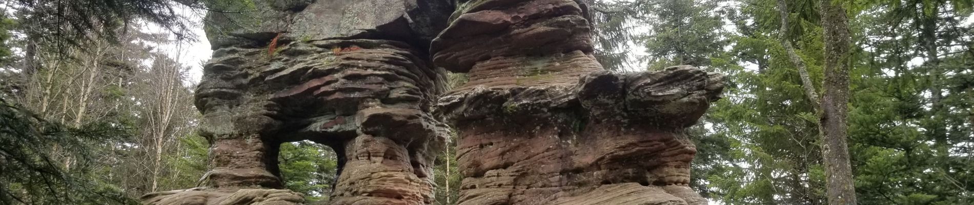
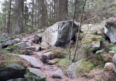
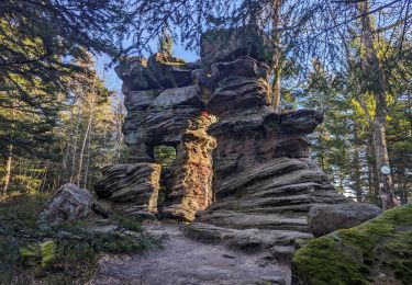
Belle randonnée essentiellment en forêt. Curiosités géologiques: Porte de Pierre, Rocher de Mutzig.
Se garer sur un petit parking juste avant l'ancienne maison forestière Sperl.

Walking
Walking

Horseback riding

Walking

Mountain bike

Mountain bike
Walking
Walking
Horseback riding