Trail Nordic walking Gredisans - L'étang Gredisans - Croix Boyon - Photo

L'étang Gredisans - Croix Boyon

 albert39
albert39

User

© OpenStreetMap contributors
Length
Length
9.4 km
Max alt
Max alt
364 m
Uphill gradient
Uphill gradient
193 m
Km-Effort
Km-Effort  
11.9 km
Min alt
Min alt
237 m
Downhill gradient
Downhill gradient
192 m
Boucle
Boucle
Yes
Creation date :
2014-12-10 00:00:00.0
Updated on :
2014-12-10 00:00:00.0

(0 Reviews)

Nordic walking
Nordic walking
1h39
Difficulty : Very difficult

Scan this QR Code to open this trail in the SityTrail application

FREE GPS app for hiking

Logo SityTrail SityTrail

IGN / Geographical institutes

Download SityTrail from the App Store Download SityTrail from Google Play

Logo SityTrail SityTrail World

The world is yours!

Download SityTrail from the App Store Download SityTrail from Google Play Download SityTrail on Huawei AppGallery

About

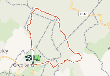
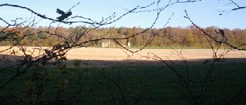
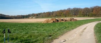
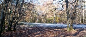
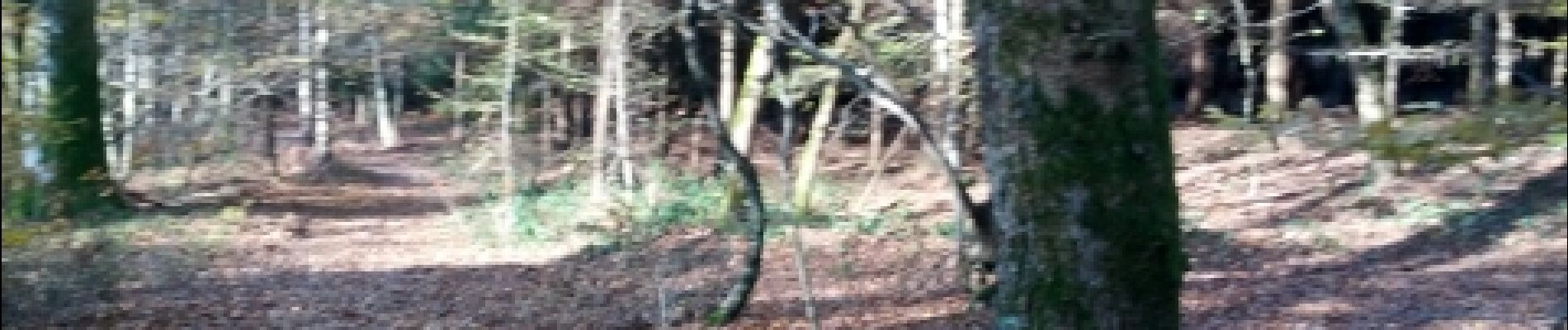
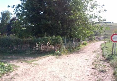
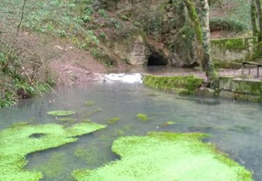
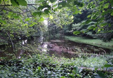
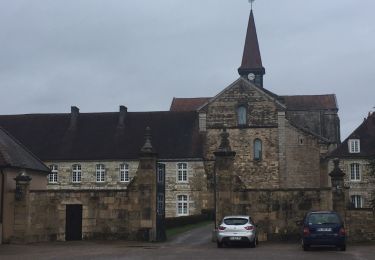
Trail Nordic walking of 9.4 km to be discovered at Bourgogne-Franche-Comté, Jura, Gredisans. This trail is proposed by albert39.

Description

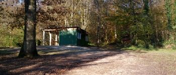
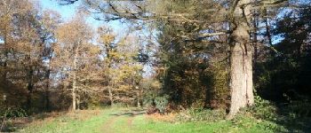
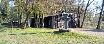
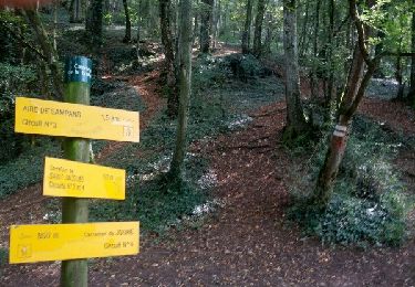
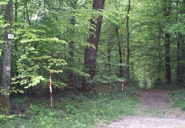
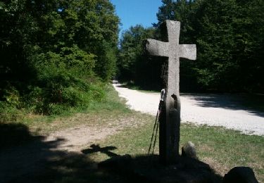
Test terrain : Marche nordique active, P.K l'étang de Gredisans, direction ruisseau des Vaux, Grange au Golard, montée chemin du Golard vers la Croix Boyon, tout droit côte 332,retour par le chemin de la forêt et le relais de chasse et parking.  

Elevation profile

Photos

Points of interest

Point of interest Gredisans - Point 2 - Photo
albert39
GREDISANS 
Point of interest Gredisans - Point 3 - Photo
albert39
GREDISANS 
Point of interest Châtenois - Point 4 - Photo
albert39
CHÂTENOIS 
Point of interest Châtenois - Point 5 - Photo
albert39
CHÂTENOIS 
Point of interest Châtenois - Point 6 - Photo
albert39
CHÂTENOIS 
Point of interest Châtenois - Point 7 - Photo
albert39
CHÂTENOIS 
Point of interest Moissey - Point 8 - Photo
albert39
MOISSEY 
Point of interest Archelange - Point 9 - Photo
albert39
ARCHELANGE 
Point of interest Moissey - Point 10 - Photo
albert39
MOISSEY 
Point of interest Gredisans - Point 11 - Photo
albert39
GREDISANS 
Point of interest Gredisans - Point 12 - Photo
albert39
GREDISANS 

Positioning

Country:
France
Region :
Bourgogne-Franche-Comté
Department/Province :
Jura
Municipality :
Gredisans
Location:
Unknown
Start:(UTM)
690831 ; 5225661 (31T) N.

Trails nearby

Trail Nordic walking Vriange - Vriange - La Serre - Photo
Nordic walking
albert39

Nordic walking

Difficult
(1)
Vriange, Bourgogne-Franche-Comté, Jura, France
8.5 km | 11.4 km-effort
1h 47min
Yes
Trail Walking Jouhe - Mont Roland 11.7km 20161215 - Photo
Walking
cmike39

Walking

Very easy
(1)
Jouhe, Bourgogne-Franche-Comté, Jura, France
11.8 km | 15.4 km-effort
3h 18min
Yes
Trail Walking Archelange - Archelange Mont Roland 2021-02-02 CAF - Photo
Walking
TRIMAILLE

Walking

Medium
Archelange, Bourgogne-Franche-Comté, Jura, France
22 km | 28 km-effort
4h 23min
Yes
Trail Walking Châtenois - R-Chatenois-20kil - Photo
Walking
TRIMAILLE

Walking

Difficult
(1)
Châtenois, Bourgogne-Franche-Comté, Jura, France
20 km | 26 km-effort
5h 36min
Yes
Trail Walking Amange - Malange 20171009 - Photo
Walking
cmike39

Walking

Very easy
(1)
Amange, Bourgogne-Franche-Comté, Jura, France
10 km | 13.3 km-effort
2h 45min
Yes
Trail Walking Jouhe - g)Etapa 7 - Photo
Walking
RafaTuareg

Walking

Easy
Jouhe, Bourgogne-Franche-Comté, Jura, France
26 km | 31 km-effort
2h 4min
No
Trail Nordic walking Jouhe - Circuit Mont-Roland - Photo
Nordic walking
albert39

Nordic walking

Difficult
Jouhe, Bourgogne-Franche-Comté, Jura, France
11 km | 16.1 km-effort
2h 9min
Yes
Trail Nordic walking Gredisans - Gredisans 7.8 km - Photo
Nordic walking
cmike39

Nordic walking

Medium
Gredisans, Bourgogne-Franche-Comté, Jura, France
7.8 km | 9.6 km-effort
1h 30min
Yes
Trail Nordic walking Gredisans - Gredisans - Relais de chasse - Photo
Nordic walking
albert39

Nordic walking

Medium
Gredisans, Bourgogne-Franche-Comté, Jura, France
9.1 km | 11.3 km-effort
1h 49min
Yes


Close
My subscriptions