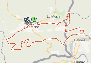

6.4 km | 9.1 km-effort


User


FREE GPS app for hiking
 SityTrail
IGN / Geographical institutes
SityTrail World
The world is yours!
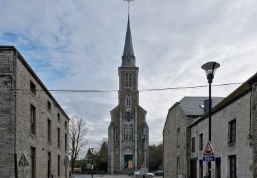
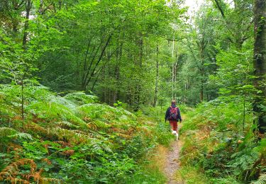
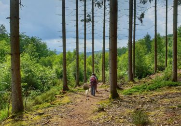
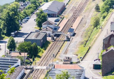
Trail Mountain bike of 24 km to be discovered at Wallonia, Namur, Viroinval. This trail is proposed by Forain.
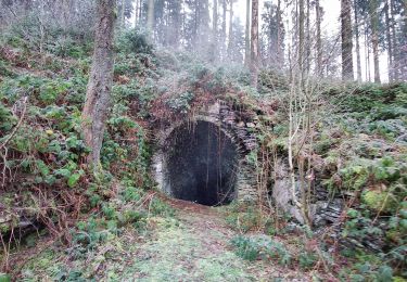
Petite balade sympa tout dans les bois, avec quelques passages techniques, le terrain est assez gras par temps de pluie.
Walking

Walking
Walking
Walking
Walking
On foot
On foot