


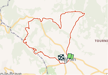

18.8 km | 25 km-effort


User


FREE GPS app for hiking
 SityTrail
IGN / Geographical institutes
SityTrail World
The world is yours!
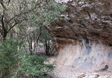
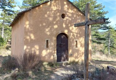
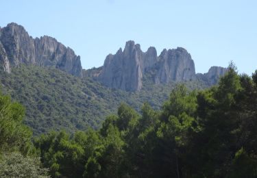
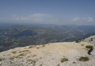
Trail Walking of 11.4 km to be discovered at Provence-Alpes-Côte d'Azur, Vaucluse, Bédoin. This trail is proposed by cluclu.
Facile.
Attention passage dans une cattiere privée sous votre responsabilité.
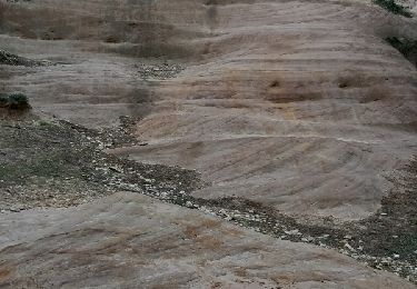
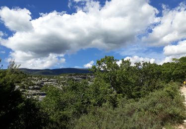
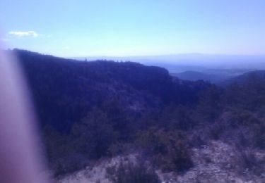
Très beau.
Walking

Walking
Walking

Walking
Walking
Walking
Walking
Mountain bike
Walking