


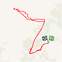

4.5 km | 7.4 km-effort


User


FREE GPS app for hiking
 SityTrail
IGN / Geographical institutes
SityTrail World
The world is yours!
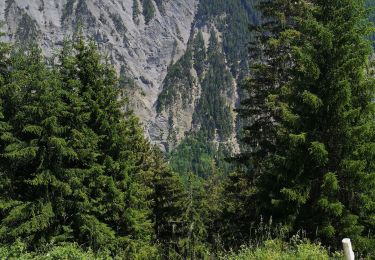
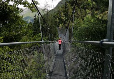
Trail Other activity of 10.9 km to be discovered at Valais/Wallis, Conthey, Conthey. This trail is proposed by sterrettaz.
Col à l''ouest du Mont Gond,
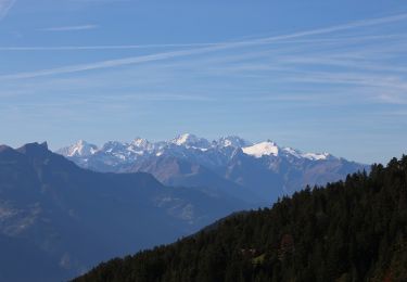
Superbe point de vue, montée avec Ben G-C.
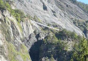
Superbe descente
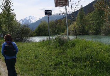
PS Le même jour que Jy dans la face N du bec d''Orzival!
On foot

Walking
On foot
Nordic walking

Other activity
Nordic walking

Walking
Walking
Nordic walking