


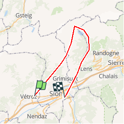

12.8 km | 18 km-effort


User


FREE GPS app for hiking
 SityTrail
IGN / Geographical institutes
SityTrail World
The world is yours!
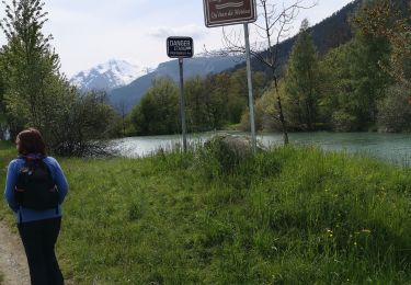
Trail Other activity of 36 km to be discovered at Valais/Wallis, Conthey, Conthey. This trail is proposed by FELIXRN.
Selon "Randonnées en suisse romande", ballade 31.

Walking
On foot

On foot
On foot
Walking
Nordic walking

Other activity

Mountain bike