


12 km | 20 km-effort


User


FREE GPS app for hiking
 SityTrail
IGN / Geographical institutes
SityTrail World
The world is yours!
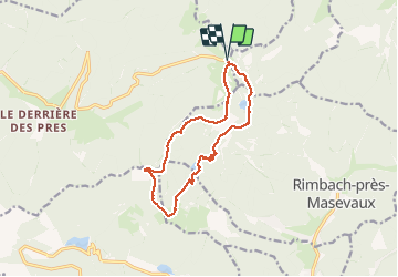
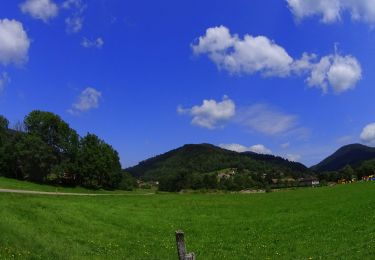
Trail Walking of 12.4 km to be discovered at Grand Est, Vosges, Saint-Maurice-sur-Moselle. This trail is proposed by dboon.
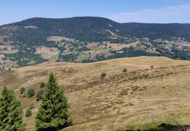
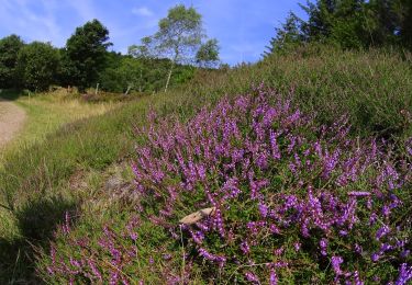
Très belle randonnée au départ du parking de l'auberge du Rouge Gazon. Elle permet d'avoir des points de vue magnifiques sur les deux lacs de Neuweiher et des Perches. L'alternance entre les parties en forêt, à découvert et au bord de l'eau en font une rando idéale par temps chaud.
Attention toutefois à la difficulté qui peut paraître simple au premier abord, mais qui en fait est difficile, notamment parce que l'effort se concentre sur la fin de la rando, et parce qu'il y a quelques passages délicats, déconseillés si vous avez un fort vertige.
Walking

Walking
Walking

Walking

Mountain bike
Walking
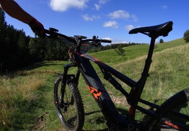
Mountain bike
Mountain bike
Mountain bike