


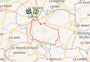

9.3 km | 12.1 km-effort


User


FREE GPS app for hiking
 SityTrail
IGN / Geographical institutes
SityTrail World
The world is yours!
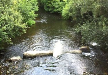
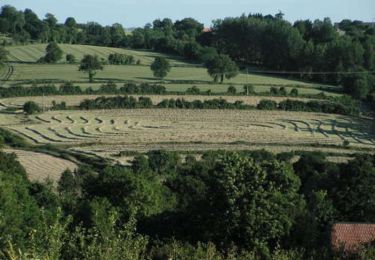
Trail On foot of 11.7 km to be discovered at Normandy, Manche, Gavray-sur-Sienne. This trail is proposed by Yannick89.
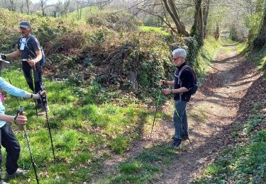
Nordic walking

Nordic walking
Nordic walking
Nordic walking

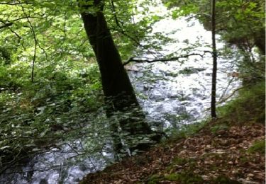
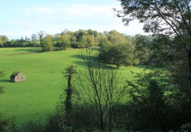
Walking
Mountain bike
Mountain bike
Mountain bike
Walking