


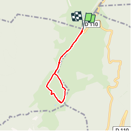

18.2 km | 35 km-effort


User


FREE GPS app for hiking
 SityTrail
IGN / Geographical institutes
SityTrail World
The world is yours!
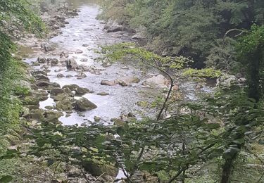
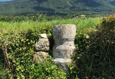
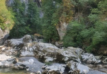
Trail Walking of 5 km to be discovered at Auvergne-Rhône-Alpes, Upper Savoy, Leschaux. This trail is proposed by Bogapuki.
22 janvier 2014
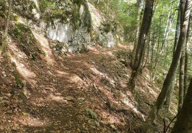
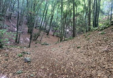
Rando/raquette facile par un temps superbe, offrant un panorama fabuleux sur les Alpes et le Mont Blanc (of course).
Walking
Walking
Walking
Walking
Walking

Walking
Walking
On foot
Walking
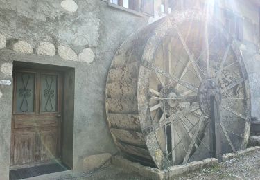
Bonne petite balade familiale