


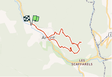

5.9 km | 10.9 km-effort

User


FREE GPS app for hiking
 SityTrail
IGN / Geographical institutes
SityTrail World
The world is yours!
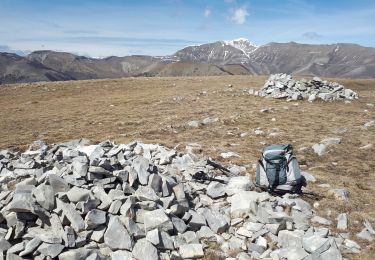
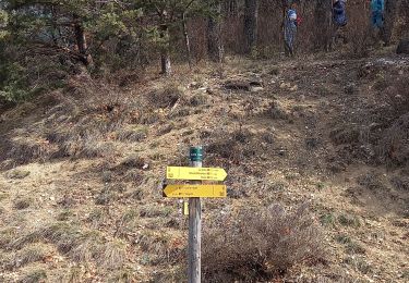
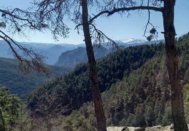
Trail Walking of 8.7 km to be discovered at Provence-Alpes-Côte d'Azur, Alpes-de-Haute-Provence, Annot. This trail is proposed by lviallet.
Très jolie ballade.
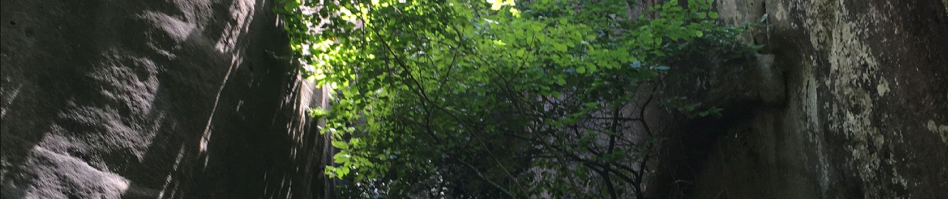
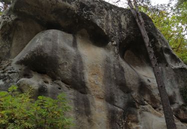
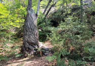
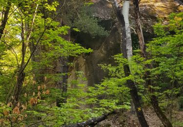
Au début de l'ère tertiaire, il y a 65 millions d'années, la mer s'est retirée en déposant localement des sables gréseux. Quelques millier d'années plus tard, ces sables, liés par des calcaires, se sont solidifiés formant de grandes falaises. Puis sous l'action de l'érosion, les falaises se sont disloquées en de multitudes blocs.


On foot
Walking

Walking
Walking
Walking
Walking
Walking
Walking
Walking