


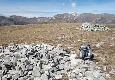
5.9 km | 10.9 km-effort

User


FREE GPS app for hiking
 SityTrail
IGN / Geographical institutes
SityTrail World
The world is yours!
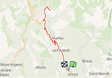
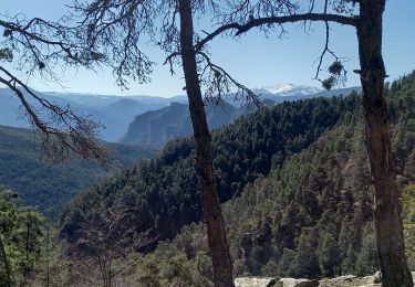
Trail Electric bike of 38 km to be discovered at Provence-Alpes-Côte d'Azur, Alpes-de-Haute-Provence, Annot. This trail is proposed by lviallet.
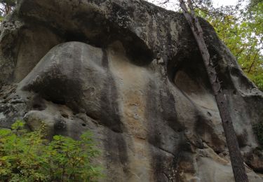
Peresq a 2 habitants qui y vivent toute l'année. Les membres d'une association belge ont achetés et rénovés un grand nombre de ces maisons.
La poste distribue le courrier deux fois par semaines, été comme hiver.
En été, beaucoup de Belges viennent y vivre.
Ce village est un véritable bijoux!


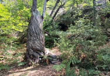
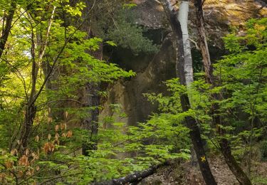
On foot
Walking

Walking
Walking
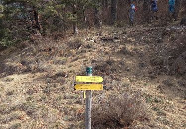
Walking
Walking
Walking
Walking
Walking