


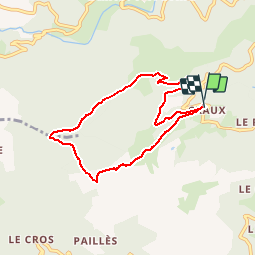


15.4 km | 25 km-effort


User


FREE GPS app for hiking
 SityTrail
IGN / Geographical institutes
SityTrail World
The world is yours!
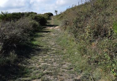
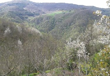
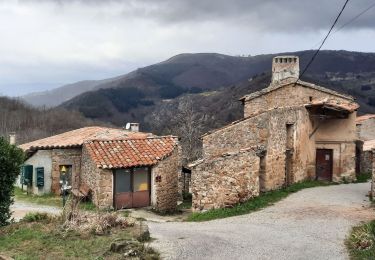
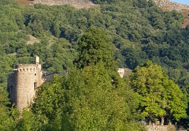
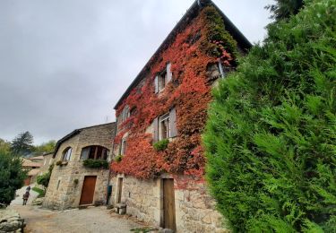
Trail Walking of 7.1 km to be discovered at Auvergne-Rhône-Alpes, Ardèche, Saint-Étienne-de-Serre. This trail is proposed by alaindurbecq.
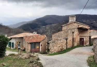
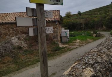
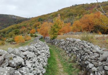
Belle rando qui alterne les paysages d'altitude, forestiers et agropastoraux.
Walking
Walking
Walking
Walking
Walking

Mountain bike
Walking
Electric bike
Walking