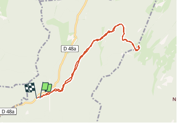

4.6 km | 6.4 km-effort


User


FREE GPS app for hiking
 SityTrail
IGN / Geographical institutes
SityTrail World
The world is yours!
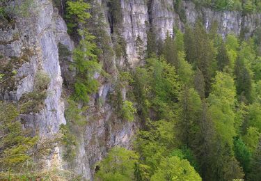
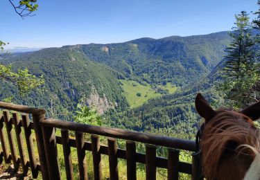
Trail Walking of 9.3 km to be discovered at Auvergne-Rhône-Alpes, Ain, Champfromier. This trail is proposed by margotte.
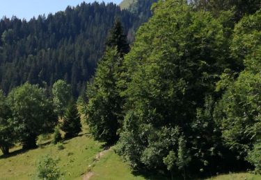
Pratiquement toute la rando en sous bois. Les marches pour accéder au sommet sont plutôt casse pattes!! Beau point de vue sur Jura et Alpes...mt blanc.
Snowshoes
Walking
Walking
Walking
Walking
Horseback riding
Walking