


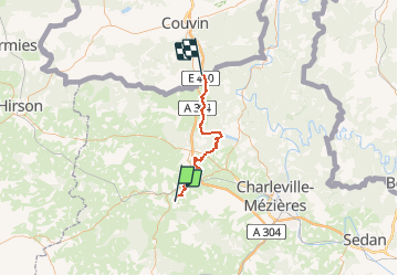


9.7 km | 12.4 km-effort


User


FREE GPS app for hiking
 SityTrail
IGN / Geographical institutes
SityTrail World
The world is yours!
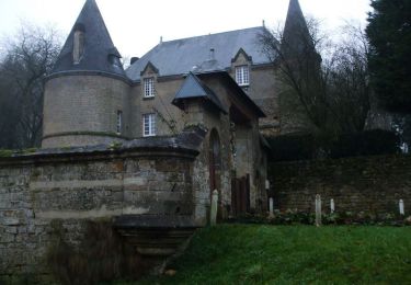
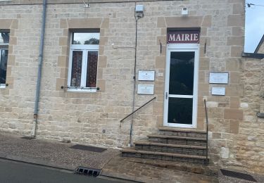
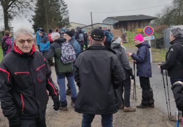
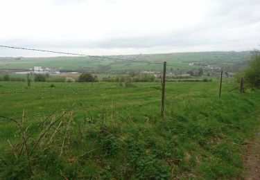
Trail Walking of 39 km to be discovered at Grand Est, Ardennes, Vaux-Villaine. This trail is proposed by Tompie666.
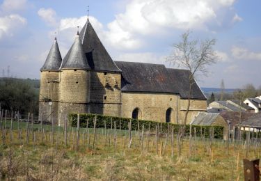
De officiële GR12 route, van Lepron-Les-Vallees tot net over de Belgische grens...

Walking
Walking
Mountain bike
Walking
Mountain bike

sport
Walking
Walking
Walking