Trail Walking Dampleux - en forêt de Retz_82_sur les Routes de la Bruyère aux Loups et de la Chrétiennette - Photo

en forêt de Retz_82_sur les Routes de la Bruyère aux Loups et de la Chrétiennette

forêts de France

© OpenStreetMap contributors
Length
Length
17.5 km
Max alt
Max alt
176 m
Uphill gradient
Uphill gradient
234 m
Km-Effort
Km-Effort  
21 km
Min alt
Min alt
116 m
Downhill gradient
Downhill gradient
233 m
Boucle
Boucle
Yes
Creation date :
2020-07-19 05:39:12.0
Updated on :
2020-07-27 16:03:49.466

(0 Reviews)

Walking
Walking
5h38
Difficulty : Difficult

Scan this QR Code to open this trail in the SityTrail application

FREE GPS app for hiking

Logo SityTrail SityTrail

IGN / Geographical institutes

Download SityTrail from the App Store Download SityTrail from Google Play

Logo SityTrail SityTrail World

The world is yours!

Download SityTrail from the App Store Download SityTrail from Google Play Download SityTrail on Huawei AppGallery

About

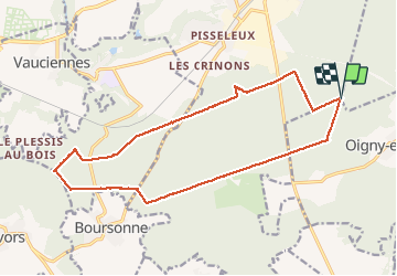
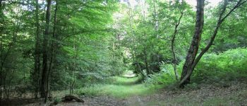
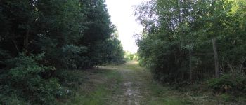
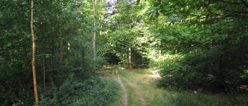
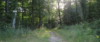
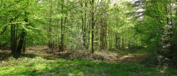
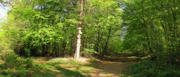
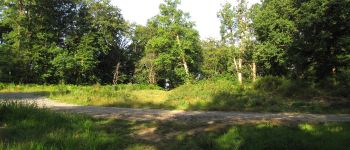
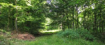
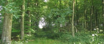
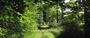
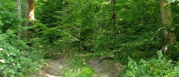
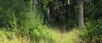
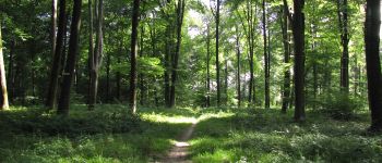
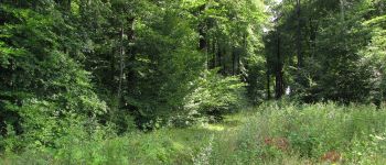
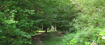
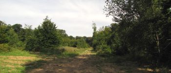
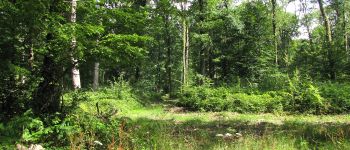
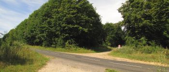
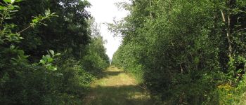
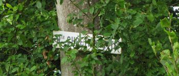
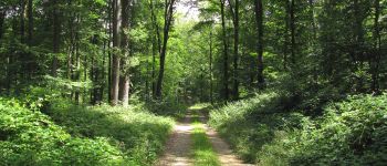
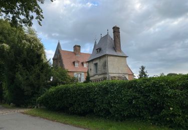
Trail Walking of 17.5 km to be discovered at Hauts-de-France, Aisne, Dampleux. This trail is proposed by en forêt de Retz.

Description

voir aussi:  http://foret-de-retz.over-blog.com/

07/ 2020

rando classée moyenne à cause de la Laie des Auvergnats (ronces, très difficile).
batterie de recharge pour iphone obligatoire.

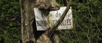
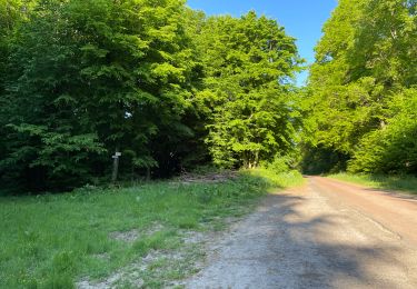
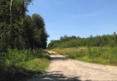
Au départ du carrefour du Rond de Châtillon,  suivre la Route Droite jusqu'au carrefour de la Pointe (absent des cartes IGN, voir: http://foret-de-retz.over-blog.com/2019/02/le-carrefour-de-la-pointe.html) et tourner à droite dans  la Laie de la Chaussée de l'étang.  
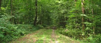
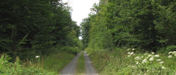
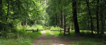
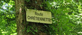
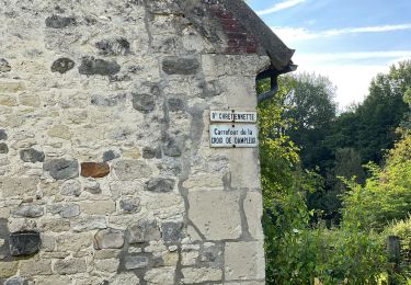
La suivre jusqu'au carrefour de la Queue d'Oigny. Tourner à gauche dans la Laie de la Bruyère aux Loups et continuer jusqu'au carrefour de Pisseleux. Prendre à droite la Laie de la Montagnette jusqu'au carrefour des Chats et tourner à gauche sur le Chemin de Bourgfontaine  puis retrouver à droite la Route de la Bruyère aux Loups. La suivre jusqu'au carrefour avec la Route  de Boursonne. Tourner à droite sur la Route Droite et la suivre jusqu'au carrefour de la Chapelle. Prendre à droite la Laie des Auvergnats jusqu'au carrefour des Bons Hommes (très difficile). Tourner à gauche sur la Route du Château et la suivre jusqu'au Rond des Dames. Prendre à gauche la Route de Boursonne et continuer jusqu'au carrefour du Taillis d'Ivors. Tourner à gauche sur la Route du Virlet et continuer jusqu'au carrefour des Bons Glands.  Tourner à droite dans la Laie du Champ Familier et aller au carrefour du Renard.  Tourner à gauche dans la Route Chrétiennette  pour rejoindre le point de départ (carrefour du Rond de Châtillon).
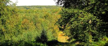
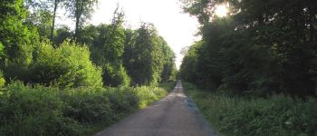
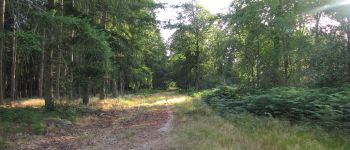
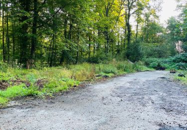
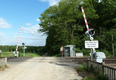
Elevation profile

Points of interest

Point of interest Dampleux - Unnamed POI - Photo
JeanLucA4
DAMPLEUX 
Point of interest Oigny-en-Valois - Unnamed POI - Photo
JeanLucA4
OIGNY-EN-VALOIS 
Point of interest Villers-Cotterêts - Unnamed POI - Photo
JeanLucA4
VILLERS-COTTERÊTS 
Point of interest Villers-Cotterêts - Unnamed POI - Photo
JeanLucA4
VILLERS-COTTERÊTS 
Point of interest Villers-Cotterêts - Unnamed POI - Photo
JeanLucA4
VILLERS-COTTERÊTS 
Point of interest Villers-Cotterêts - Point 6 - Photo
JeanLucA4
VILLERS-COTTERÊTS 
Point of interest Villers-Cotterêts - Unnamed POI - Photo
JeanLucA4
VILLERS-COTTERÊTS 
Point of interest Villers-Cotterêts - Unnamed POI - Photo
JeanLucA4
VILLERS-COTTERÊTS 
Point of interest Villers-Cotterêts - Unnamed POI - Photo
JeanLucA4
VILLERS-COTTERÊTS 
Point of interest Villers-Cotterêts - Point 10 - Photo
JeanLucA4
VILLERS-COTTERÊTS 
Point of interest Villers-Cotterêts - Unnamed POI - Photo
JeanLucA4
VILLERS-COTTERÊTS 
Point of interest Coyolles - Unnamed POI - Photo
JeanLucA4
COYOLLES 
Point of interest Coyolles - Unnamed POI - Photo
JeanLucA4
COYOLLES 
Point of interest Coyolles - Unnamed POI - Photo
JeanLucA4
COYOLLES 
Point of interest Coyolles - Unnamed POI - Photo
JeanLucA4
COYOLLES 
Point of interest Coyolles - Unnamed POI - Photo
JeanLucA4
COYOLLES 
Point of interest Coyolles - Unnamed POI - Photo
JeanLucA4
COYOLLES 
Point of interest Coyolles - Unnamed POI - Photo
JeanLucA4
COYOLLES 
Point of interest Coyolles - Unnamed POI - Photo
JeanLucA4
COYOLLES 
Point of interest Coyolles - Unnamed POI - Photo
JeanLucA4
COYOLLES 
Point of interest Coyolles - Point 21 - Photo
JeanLucA4
COYOLLES 
Point of interest Coyolles - Point 22 - Photo
JeanLucA4
COYOLLES 
Point of interest Coyolles - Unnamed POI - Photo
JeanLucA4
COYOLLES 
Point of interest Villers-Cotterêts - Unnamed POI - Photo
JeanLucA4
VILLERS-COTTERÊTS 
Point of interest Villers-Cotterêts - Unnamed POI - Photo
JeanLucA4
VILLERS-COTTERÊTS 
Point of interest Villers-Cotterêts - Unnamed POI - Photo
JeanLucA4
VILLERS-COTTERÊTS 
Point of interest Villers-Cotterêts - Unnamed POI - Photo
JeanLucA4
VILLERS-COTTERÊTS 
Point of interest Oigny-en-Valois - Unnamed POI - Photo
JeanLucA4
OIGNY-EN-VALOIS 
Point of interest Oigny-en-Valois - Point 29 - Photo
JeanLucA4
OIGNY-EN-VALOIS 
Point of interest Oigny-en-Valois - Unnamed POI - Photo
JeanLucA4
OIGNY-EN-VALOIS 

Positioning

Country:
France
Region :
Hauts-de-France
Department/Province :
Aisne
Municipality :
Dampleux
Location:
Unknown
Start:(UTM)
508676 ; 5452886 (31U) N.

Trails nearby

Trail Walking Villers-Cotterêts - maison forestière de mortefert > (vers) billemont > (vers) villers cotteret - (vers) baisemont > maison forestière de mortefert - Photo
Walking
DA FT

Walking

Medium
Villers-Cotterêts, Hauts-de-France, Aisne, France
16.8 km | 20 km-effort
4h 36min
Yes
Trail Walking Corcy - FLEURY .AISNE  - Photo
Walking
TURLUPIN2010

Walking

Medium
Corcy, Hauts-de-France, Aisne, France
5.7 km | 7.9 km-effort
1h 25min
Yes
Trail Walking Fleury - en Forêt de Retz_92_05_2022_Rond d'Orléans_Chapeau des Cordeliers_la Laie des étangs de Longpont - Photo
Walking

Walking

Medium
Fleury, Hauts-de-France, Aisne, France
9.2 km | 10.9 km-effort
2h 46min
Yes
Trail Walking Corcy - en forêt de Retz_91_04_2022_la Laie de la Belle Epine - Photo
Walking

Walking

Difficult
Corcy, Hauts-de-France, Aisne, France
10.6 km | 13.3 km-effort
3h 32min
Yes
Trail Walking Largny-sur-Automne - en Forêt de Retz_90_09_2021_la Selve - Photo
Walking

Walking

Medium
Largny-sur-Automne, Hauts-de-France, Aisne, France
6.2 km | 7.8 km-effort
1h 52min
Yes
Trail Walking Villers-Cotterêts - Domaine de Coyolles - Photo
Walking
TURLUPIN2010

Walking

Medium
Villers-Cotterêts, Hauts-de-France, Aisne, France
14.3 km | 16.3 km-effort
3h 0min
Yes
Trail Walking Villers-Cotterêts - en forêt de Retz_87_la Laie des Masures par la Route Chrétiennette - Photo
Walking

Walking

Very difficult
Villers-Cotterêts, Hauts-de-France, Aisne, France
12 km | 15 km-effort
3h 57min
Yes
Trail Walking Oigny-en-Valois - en forêt de Retz_86_les Laies de la Poudrerie et de la Fosse aux Demoiselles - Photo
Walking

Walking

Difficult
Oigny-en-Valois, Hauts-de-France, Aisne, France
12.3 km | 15.1 km-effort
3h 44min
Yes
Trail Walking Oigny-en-Valois - en forêt de Retz_81_vers les étangs de Bourcq et sur le GR11 - Photo
Walking

Walking

Very difficult
Oigny-en-Valois, Hauts-de-France, Aisne, France
18.2 km | 23 km-effort
5h 59min
Yes


Close
My subscriptions