


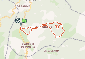

6.9 km | 10.1 km-effort

User GUIDE


FREE GPS app for hiking
 SityTrail
IGN / Geographical institutes
SityTrail World
The world is yours!
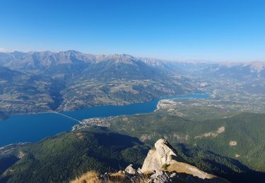
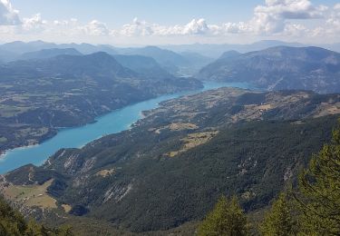
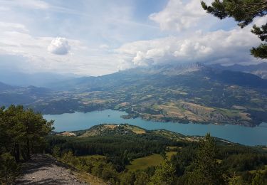
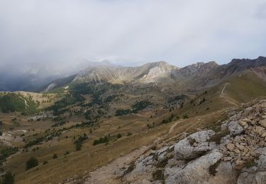
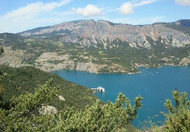
Trail Walking of 8.9 km to be discovered at Provence-Alpes-Côte d'Azur, Alpes-de-Haute-Provence, Pontis. This trail is proposed by thonyc.


Walking

Walking
Walking
Walking
Walking
Walking
Walking

Mountain bike
Walking
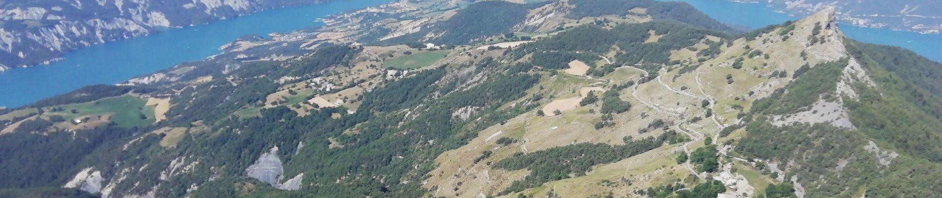
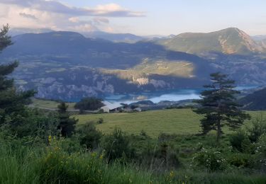
belle petite rando, points de vue magnifiques.....à refaire.