


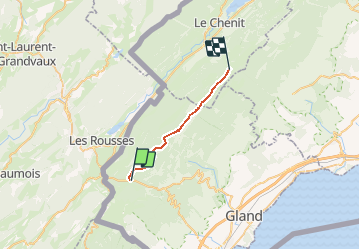

15.1 km | 23 km-effort


User


FREE GPS app for hiking
 SityTrail
IGN / Geographical institutes
SityTrail World
The world is yours!
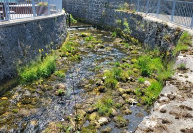
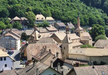
Trail Other activity of 17.6 km to be discovered at Vaud, District de Nyon, Saint-Cergue. This trail is proposed by LuBa.
Départ La Chaux 8

Walking

Walking
On foot

Snowshoes

Walking
Walking
Bicycle tourism
Bicycle tourism
Bicycle tourism