


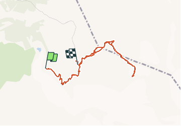

13.1 km | 28 km-effort

User


FREE GPS app for hiking
 SityTrail
IGN / Geographical institutes
SityTrail World
The world is yours!
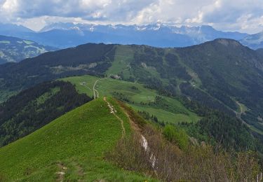
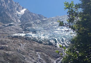
Trail Walking of 8.9 km to be discovered at Auvergne-Rhône-Alpes, Upper Savoy, Saint-Gervais-les-Bains. This trail is proposed by Maryma.
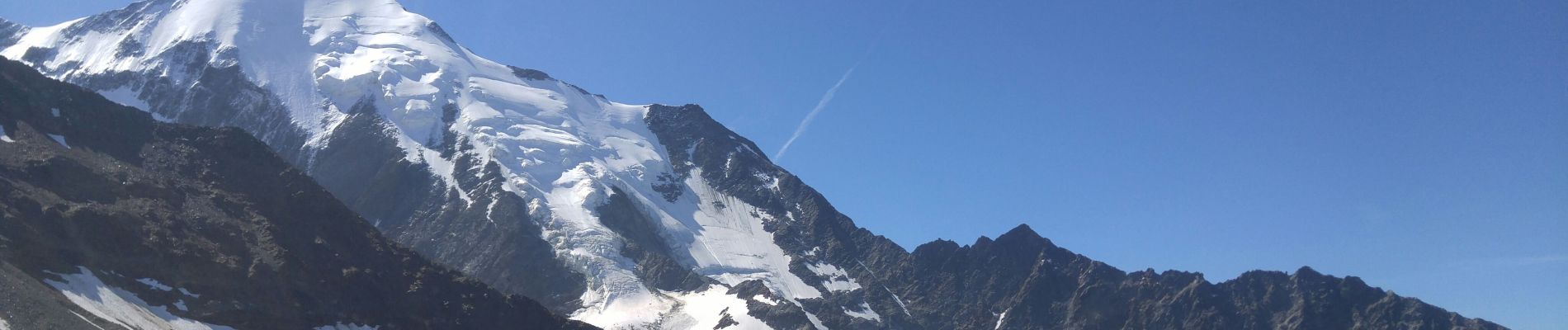
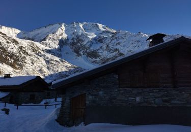
montée en télécabine jusqu'à Bellevue. Retour par le train à partir du Nid d' Aigle. Puis télécabine jusqu'aux Houches
1400 D
Ai démarré l'enregistrement du parcours après 45mn de marche du départ de Bellevue


Walking

Walking
Walking

Walking

Walking
Walking
Touring skiing
Touring skiing
Walking