


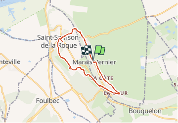


10.8 km | 13.8 km-effort


User


FREE GPS app for hiking
 SityTrail
IGN / Geographical institutes
SityTrail World
The world is yours!
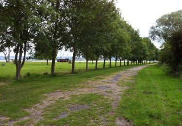
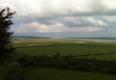
Trail Walking of 11 km to be discovered at Normandy, Eure, Marais-Vernier. This trail is proposed by RoMo.
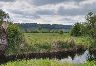
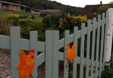
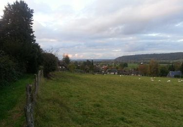
beau paysage parsemé de chaumières


Walking

Walking

Walking
Walking
Walking

Walking
Walking
Walking