


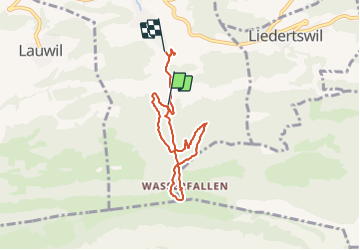

4 km | 7.6 km-effort


User


FREE GPS app for hiking
 SityTrail
IGN / Geographical institutes
SityTrail World
The world is yours!
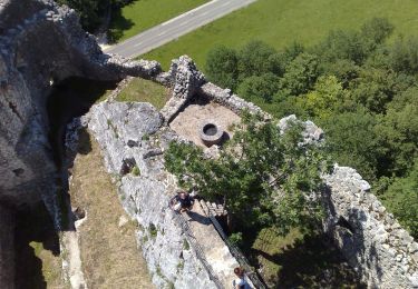
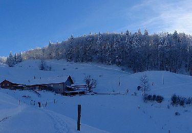
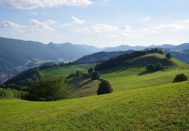
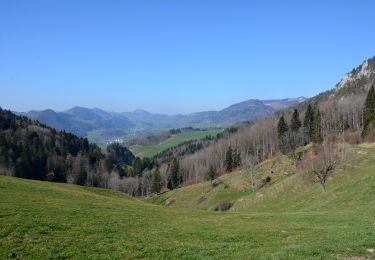
Trail Other activity of 6.3 km to be discovered at Basel-Landschaft, Bezirk Waldenburg, Reigoldswil. This trail is proposed by meury.
On foot
On foot
On foot
On foot
On foot
On foot
On foot
On foot
On foot