


7.6 km | 13.7 km-effort

User


FREE GPS app for hiking
 SityTrail
IGN / Geographical institutes
SityTrail World
The world is yours!
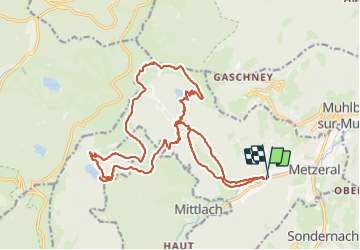
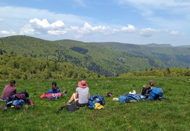
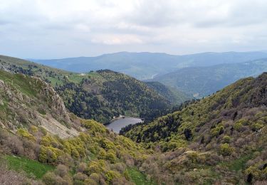
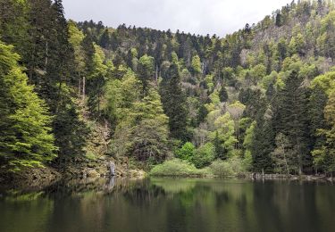
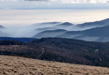
Trail Walking of 23 km to be discovered at Grand Est, Haut-Rhin, Metzeral. This trail is proposed by Bart2015.
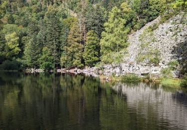
Très belle randonnée pour découvrir le Hohneck et les 3 lacs qu'il domine. Possibilité de la raccourcir en n'allant pas au lac d'Altenweiher et en allant directement au Kalstelbergwasen. Possibilité de se restaurer à l'auberge.
S'équiper de bonnes chaussures de marche, haute si possible, car beaucoup de cailloux. A éviter s'il a plu ou s'il va pleuvoir.
Bonne randonnée ...


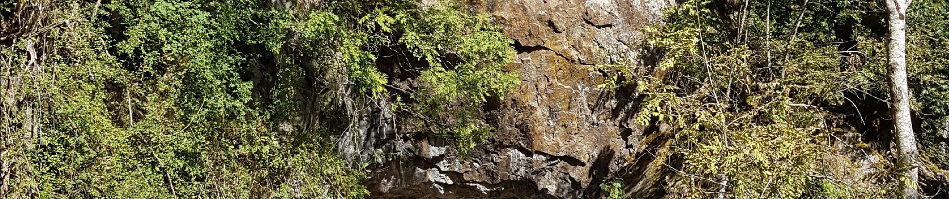
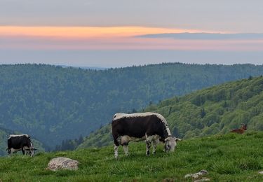
44 photos in total. Please click on a photo to see them all in the gallery.

Walking

Mountain bike
Walking
Walking
Walking
Walking
Walking
Walking
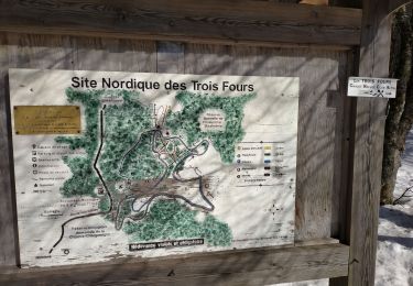
Cross-country skiing